ABOUT US
EXPLORE OUR WORLD
modern updating of goods
24/7 SUPPORT
CONTROL TECHNOLOGY LLC
Quality Control
wide range of products
OUR GOAL IS TO SELL the best PRODUCTS AND SERVICES at competitive prices
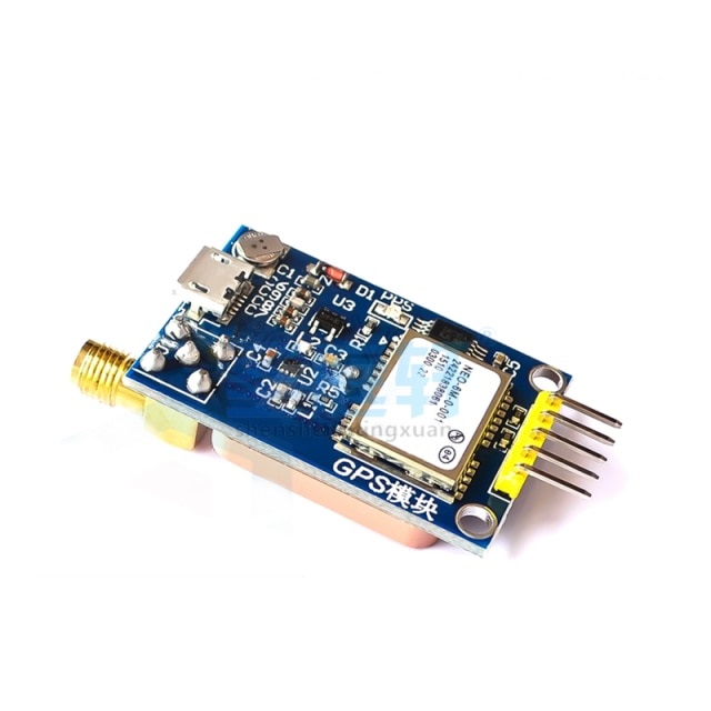
GPS flashlight with Micro USB
Flashlight, Satellite positioning, 51 single chip for Arduino and STM32 for routes, ceramic antenna module Neo.
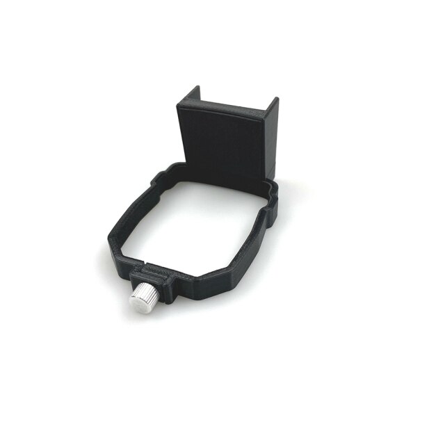
Satellite Positioning Tracker GPS Carrying Bracket
At the top of the Mavic Air box, you can install a GPS locator and other items using fixed stickers, safe and reliable assembly and disassembly; Support for various GPS trackers, children's watches or other items.
GPS NEO-7M module
GPS is a one-second pulse pps signal, its role is used to indicate the time for the entire second, and the moment is usually marked by the ascending edge of the PPS pulse. Because GPS can give UTC time, but the user will get a time delay, then in order to accurately set the time, the introduction of the ascending edge of the PPS signal to mark UTC the entire second moment, the accuracy can be nanoseconds, and there is no cumulative error.
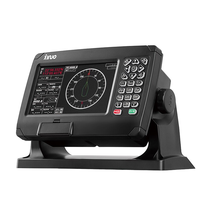
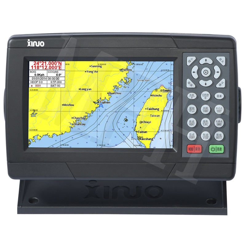
Sinoll 7 inch Marine GPS BeiDou
Sinoll 7-inch Marine GPS BeiDou, Dual Positioning, Satellite Navigator, Jie De XF-607, Navigation, Micro Guard Guide.
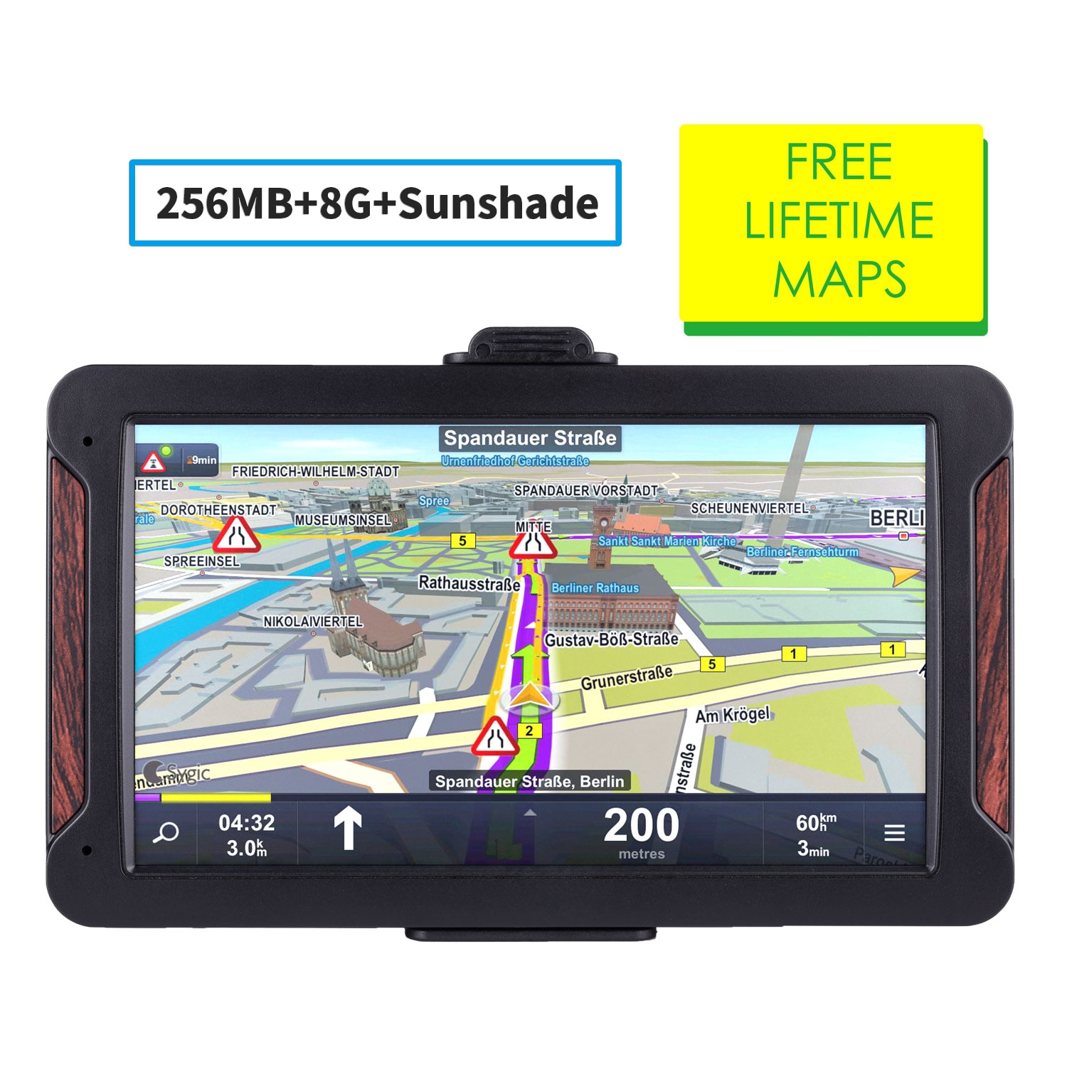
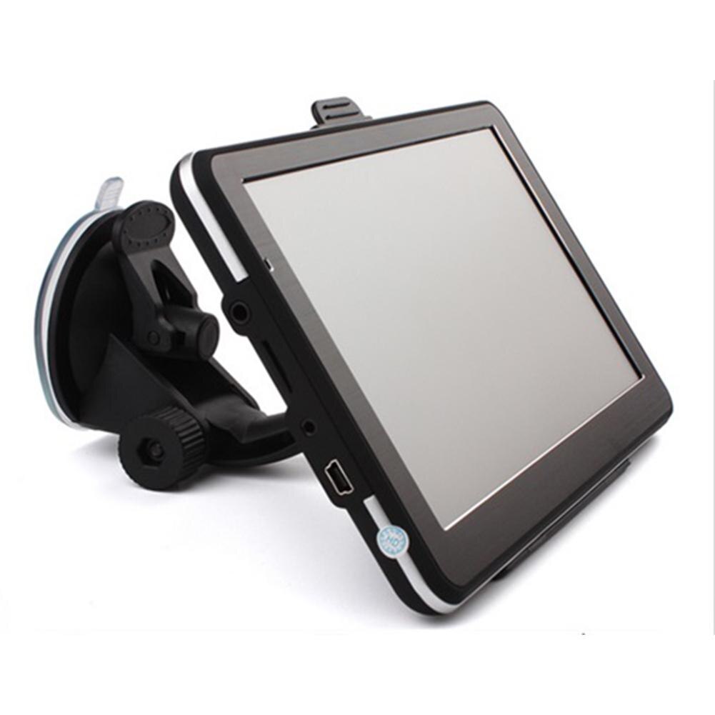
Car GPS Navigator
Car GPS Navigator with 7-inch HD Screen, Car GPS Navigator, FM Radio, Satellite Navigation, GPS Navigation for Truck, latest Map of Europe.
Marine navigation GPS
Marine navigation GPS 7 inch new marine GPS satellite navigation XF-608.
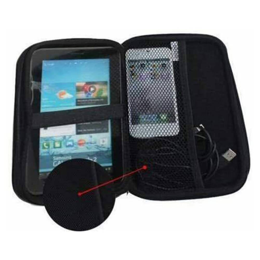
7 inch GPS Satellite Navigator Case
7 Inch GPS Satellite Navigator Carrying Case Satellite Navigation Suitcase for Tomtom Garmin for Navman Truck Car Navigation System.
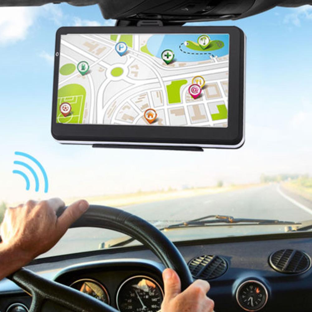
Car GPS Navigator HD
Map of Europe/map of Australia/map of the Middle East/map of North America/map of South America/map of Southeast Asia/Africa Map/(The map is not fully supported by the product, just download the map according to your order).
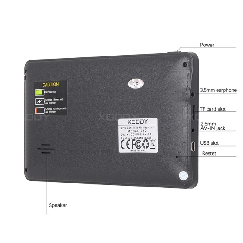
XGODY GPS navigator for car
XGODY GPS Navigator for car, 7 inches, 256 MB + 8 GB, Truck, GPS navigation, Voice navigation, car satellite, Europe, Russia, free map.
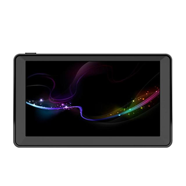
7-inch car portable navigator
Provides real voice broadcasting in more than 40 languages. Support for zip code, address search.. Intelligent error correction, if the route is wrong, the system will automatically generate a new route so that you can reach your destination faster, safer and more accurately. Planning multiple routes: fast, green, economical and simple. Provides 7 vehicle modes, cars, trucks, bicycles, buses, ambulances, taxis and walking routes, as well as special HGV functions.
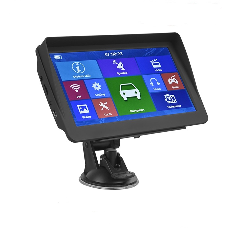
Car GPS Navigator
Beautiful 3D landmarks will help you find bearings in unknown areas. Driving with IGO GPS navigation is practical and enjoyable. The exact distance to each maneuver will help you get to your destination. If you miss a turn, our smart algorithm will recalculate immediately to get you back on track.
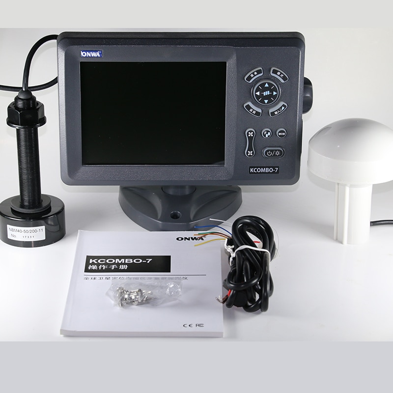
Marine onwa anwar kcombo-7
Marine onwa anwar kcombo-7, Multifunctional GPS, Satellite navigator, Depth, Echo Sounder, Fish research, three in one.
Marine onwa anwar kcombo-7, Multifunctional GPS, Satellite navigator, Depth, Echo Sounder, Fish research, three in one
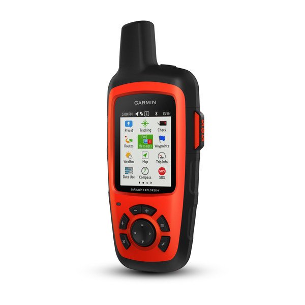
Satellite Communicator with Maps and Sensors Rugged handheld satellite communicators enable two-way text messaging via 100% global Iridium® satellite network (satellite subscription required) Trigger an interactive SOS to the 24/7 search and rescue monitoring center Track and share your location with family and friends Pair with compatible mobile devices using the free Earthmate® app for access to downloadable maps¹, U.S. NOAA charts, color aerial imagery and more inReach Explorer+ device adds preloaded DeLorme® TOPO maps with on-screen GPS routing plus built-in digital compass, barometric altimeter and accelerometer.
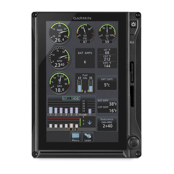
TXi EIS
Dedicated 7" Portrait EIS Display - Single 4 Cylinder Piston Engine Compatible with most normally aspirated or turbocharged Lycoming and Continental 4- to 6-cylinder engines powering GA singles and twins Engine indications can be viewed as an integrated engine indication system (EIS) strip on a 10.6” G500 TXi/G600 TXi display or on a stand-alone 7” display1 Enables aircraft-specific tailoring of instrumentation inputs for engine, fuel, oil, electrical and other vital sensor data Lean assist mode helps optimize fuel mixture settings for better fuel economy and more efficient engine operation EIS data is automatically logged and can be wirelessly transmitted to the Garmin Pilot™ app on your mobile device2.
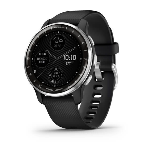
D2™ Air X10
Aviator Smartwatch Get airport weather for preflight awareness2. Navigate Direct-to nearby airports, and see airport and runway information2. Automatically log flights, and wirelessly sync with your flyGarmin.com® account2. Make calls from your wrist, and create or respond to text messages hands-free, courtesy of your paired smartphone’s voice assistant. Smartwatch capabilities plus health and wellness features help keep you in tune with your day. Bright AMOLED display and up to 7 days of battery life? Affirmative.
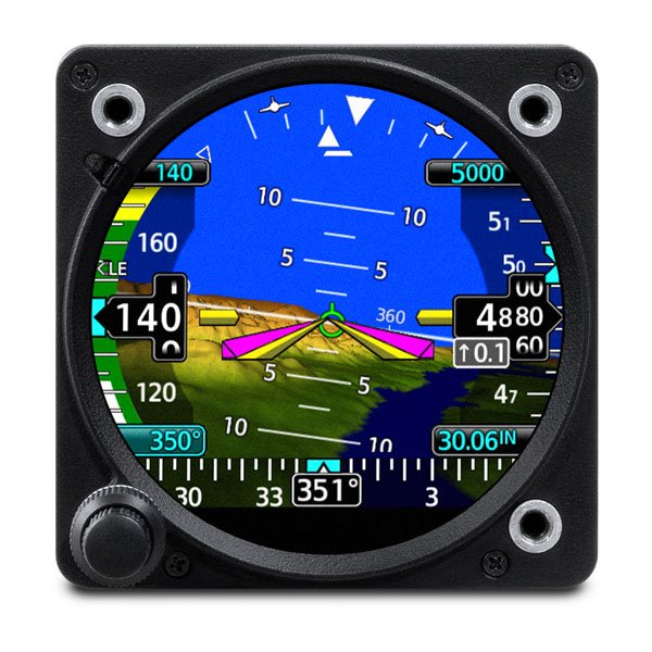
GI 275
Attitude Indicator (AI/ADI) Out with the old, in with the new. It flush mounts in a standard 3-1/8” round cutout. From piston singles to jets, it’s STC’d for more than 1,000 make/model aircraft. How do you see it? Attitude, altitude, airspeed, CDI, HSI, MFD or EIS. It’s available with precise digital ADAHRS and interface to drive select autopilots. Connect your cockpit with built-in Wi-Fi® connectivity and BLUETOOTH® technology. Know you’ll get home with up to 60 minutes of optional backup battery power.
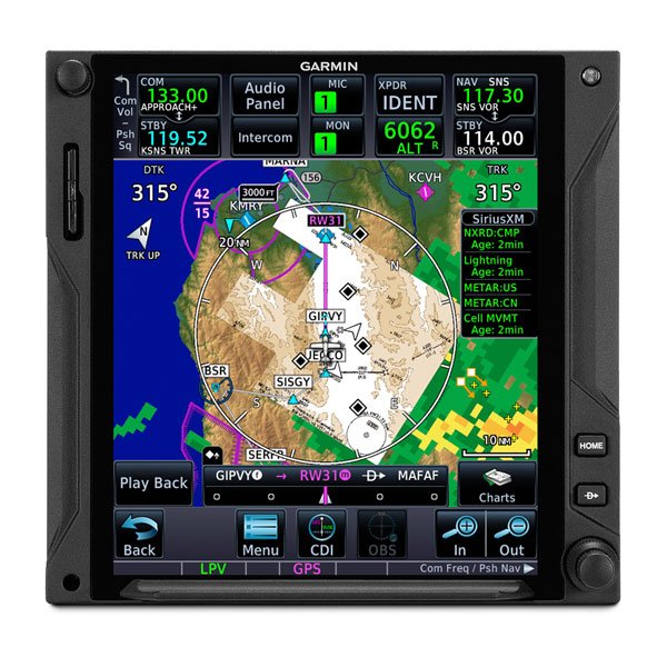
GTN™ 750Xi
GPS/NAV/COMM/MFD Visualize your entire flight plan, including holds and approaches on a big 6.9” touch display. Faster is better. High-speed processors cut boot-up time by 50% over earlier GTN models. Fly the approaches you want — from visual glidepaths to LPV, RNAV, ILS and more. It’s interface-friendly with a wide range of existing avionics, autopilots and flight displays1. Wirelessly load flight plans and database updates with an optional Connext® link. Upgrade? New GTN Xi series offers easy slide-in upgrade for existing GTN avionics.
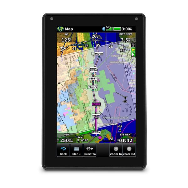
Aera® 760
Bright days are no problem — with our vivid, sunlight-readable touchscreen display. Make IFR flying easier by adding airways and IFR approaches, arrivals, departures and more to your route. Be aware down low. See obstructions and wires with our WireAware™ wire-strike avoidance technology. Weather and traffic? Check, and check. Just pair with a GTX™ 345 transponder or GDL® 52 series datalink. Prep for your flight with wireless Internet weather and automatic data downloads. Take off with round-trip power. Get up to 4 hours of battery life on each charge.
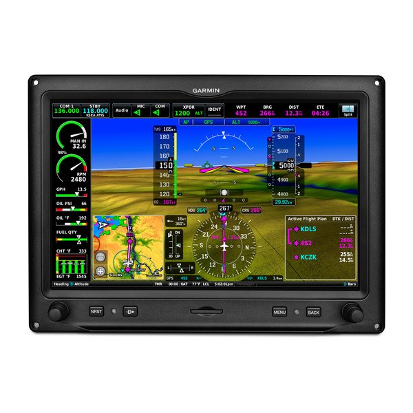
G3X Touch™ for Experimental Aircraft
GDU 460 Advanced flight displays with built-in VFR WAAS GPS Primary flight display (PFD) and multifunction display (MFD) capability plus optional highly configurable engine indication system (EIS) display Native infrared touchscreen interface seamlessly blends with familiar buttons and knobs Available in 10.6" landscape, 7" landscape and 7" portrait display sizes; install up to 4 displays in any combination Integrates with other Garmin avionics, allowing seamless control and display of information such as traffic, weather, radios, audio and more Features built-in Connext® wireless technology for flight plan transfer and more with select Garmin portables and mobile device apps such as Garmin Pilot™.
CONTACT US
Reach-out
Address
5330 NW 161st St, Miami Lakes, FL 33014
Phone


